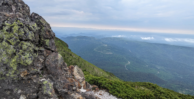
Mt. Rausu Climb
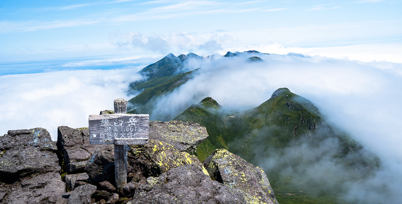
Rising to 1,661 meters, Mt. Rausu is the highest peak in the Shiretoko mountain range and one of Japan’s 100 Famous Mountains. From the summit, hikers are rewarded with panoramic views of the entire range and even Kunashiri Island in the distance.
There are two main trails:
▸ Rausu Onsen Trail
- Distance: 7.5 km one way
- Time: 6.5 hrs up / 4.5 hrs down
- Difficulty: Advanced
This steep and rugged route involves a 1,500-meter elevation gain and is recommended for experienced climbers only. Proper gear and preparation are essential.
▸ Iwaobetsu Trail
- Distance: 6.9 km one way
- Time: 5 hrs up / 4 hrs down
- Difficulty: Intermediate
With a higher starting elevation and well-maintained paths, this route is less steep than the Rausu Onsen trail, making it suitable for intermediate hikers.
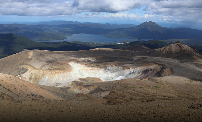
Lake Rausu Trek
Lake Rausu is the largest lake in Shiretoko National Park, nestled in a quiet highland zone surrounded by untouched nature. The round-trip hike from the trailhead is about 6 km and takes roughly 3 hours.
At 700 meters above sea level and at a high latitude, the area resembles alpine environments found at much higher elevations. Along the way, hikers pass four smaller ponds and encounter rare alpine plants.
The trail includes muddy and rocky sections, and snow patches may remain even in summer. There are minimal boardwalks, so waterproof rubber boots are essential (available for rent at the Shiretoko Rausu Visitor Center). As this is also bear territory, a bell and spray are recommended.
Access:
- By bus: Get off at “Rausuko Iriguchi” and walk to the trailhead (limited service—check schedules in advance).
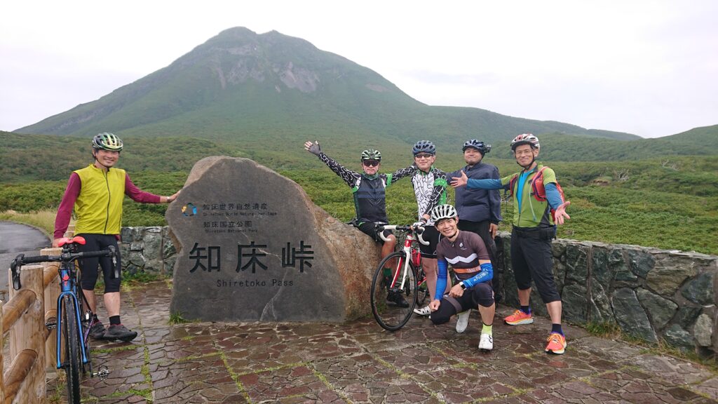
- By car: Park at the Shiretoko Pass lot and walk 2.5 km to the trailhead.
Mt. Oakan Climb
Mt. Oakan (1,370 m) is an active stratovolcano rising on the eastern shore of Lake Akan. The mountain is known for its long and steady ascent through a variety of natural environments, making it a rewarding climb for intermediate hikers.
There is only one established trail:
▸ Takiguchi Trailhead (round-trip: ~12.4 km / duration: 5.5–6 hrs)
The trailhead is located about 3 km south of Akanko Onsen along Route 240. The route takes hikers through changing forest zones, from stands of Sakhalin fir to alpine shrubs, eventually opening up to sweeping ridgelines.
Scenic viewpoints along the way overlook the twin ponds of Taro and Jiro, and from the summit, hikers are rewarded with panoramic views of Lake Akan, Lake Kussharo, Lake Panketō, Lake Penketō, and on clear days, even Mt. Mashu, Mt. Shari, and the distant Shiretoko mountain range.
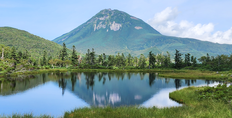
Mt. Meakan Climb
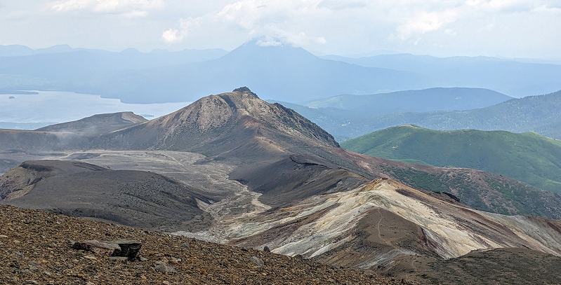
Mt. Meakan (1,499 m) is one of Japan’s 100 Famous Mountains and a popular destination for hikers seeking dramatic volcanic landscapes. Three main routes are available, each ranging from 3 to 6 km one way and taking between 2.5 to 3.5 hours to the summit, making them suitable for beginners to intermediate-level hikers.
▸ Meakan Onsen Trail (round-trip: ~6.0 km / ascent: 2.5 hrs / descent: 1.5 hrs)
The shortest and most popular route. The trailhead is located at Meakan Onsen.
▸ Onnetō Trail (round-trip: ~8.8 km / ascent: 3 hrs / descent: 2 hrs)
A quieter route through peaceful forest scenery, with excellent views of Mt. Oakan.
▸ Lake Akan Trail (round-trip: ~12.6 km / ascent: 3.5 hrs / descent: 2.5 hrs)
The longest option, ideal for hikers looking for a more extended climb.
From the summit, hikers are rewarded with panoramic views of the crater lake “Aonuma,” Lake Akan, Lake Mashu, Mt. Oakan, and Mt. Akan Fuji. The vivid contrast between volcanic terrain and untouched forest makes this a memorable climb.
The trail leads through a dramatic transition of alpine scenery—from red pine forests to dwarf stone pines, and finally into a bare, rocky volcanic zone above the treeline. At the summit, you’ll stand on the edge of a living volcanic crater with sweeping views of Onnetō and the surrounding wilderness.
Mashu-dake Hiking
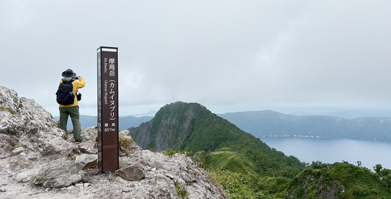
The Mashu-dake trail starts next to the First Observatory of Lake Mashu and offers a round-trip route of about 14.4 km, taking approximately 5 hours. This hike follows the southern rim of the caldera, winding through forests and open meadows while gradually gaining elevation. Along the way, you’ll catch glimpses of the deep blue waters of Lake Mashu through the trees, as well as sweeping views of the Kushiro wetlands, Mt. Nishibetsu, and the Akan Mountains. At the summit, you’ll stand above the dramatic crater of Mt. Mashu, surrounded by panoramic scenery unique to Hokkaido.
Mt. Mokoto Hiking
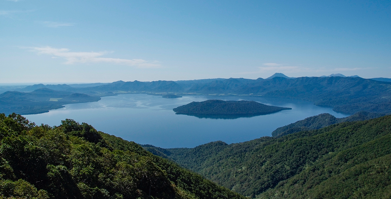
Mt. Mokoto (1,000m) lies on the eastern shore of Lake Kussharo and is a popular hiking destination for beginners and intermediate hikers alike. From the top, you’ll be rewarded with breathtaking views of the lake’s vast caldera and, on a clear day, the distant Mt. Oakan, the Daisetsuzan Mountains, the Shiretoko Range, and the Sea of Okhotsk.
There are three trail options:
- Skyline Trail (4.0 km round-trip / approx. 1 hr up, 45 min down):
The most popular route, offering well-maintained paths and stunning views over Lake Kussharo.
- Short Trail (2.0 km round-trip / approx. 30 min up, 20 min down):
A quick option for those short on time, ideal for a brief summit adventure.
- Loop Trail (approx. 8.0 km / 3 hr 45 min):
This longer trail takes you through forests of birch and spruce with varied terrain and diverse scenery.
Wakoto Peninsula Hiking
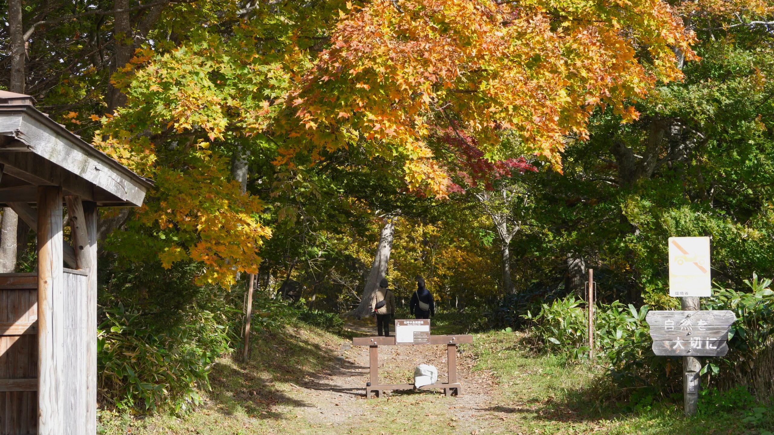
The Wakoto Peninsula extends into the southern side of Lake Kussharo and features a scenic 2.5 km loop trail, easily walkable in about one hour. Due to ongoing geothermal activity, parts of the ground remain warm year-round, and you might even hear the chirp of insects that usually appear in early summer—even during winter.
From spring to autumn, the trail is lined with seasonal wildflowers such as adonis, skunk cabbage, Corydalis, and wood anemones. With mostly flat paths, it’s a great nature walk for beginners and families.
- Tips: Bear safety
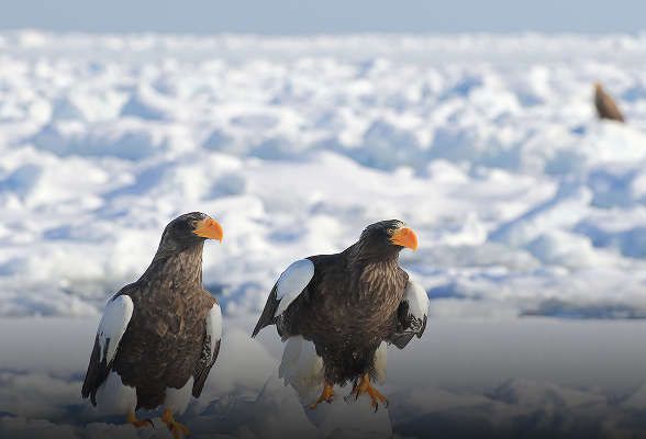
- Hokkaido is home to brown bears. Carry a bear bell or radio to alert wildlife of your presence, and bring bear spray if possible. If you encounter a bear, do not turn your back—back away slowly and calmly.